Hand-drawn Draft Map

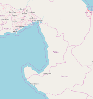
Doing more research tonight on climate and thinking more about geography/geology. I used the handy OGF Scale Helper to find some interesting/inspirational places in the real world. Those images gave me a very broad idea of what I was thinking for each region. You kind of have to use your imagination as some of the real world features would be mirrored or oriented differently on my map. I would 10/10 recommend using the scale helper to really get a sense of how big your space is, or if you're not mapping on OGF use some sort of real-life barometer, because I definitely thought my country was smaller than it really is! Region 1 & 2: Upper Third I'm thinking since the mountain range is running NW>SE, that the northern part of my country will be a coastal part of the range, which glacial valleys/fjords and rocky islands. The mountains would gradually move away from the coastline as you travel south so you would get more land in the glacial valleys and some nice riv...
